For my postcard project, I decided to do a few versions. These are the first drafts of each.
Each is a different way of mapping the same area (the 9-acre patch I call Lilypad).
I'm sending them out to my family in Florida.
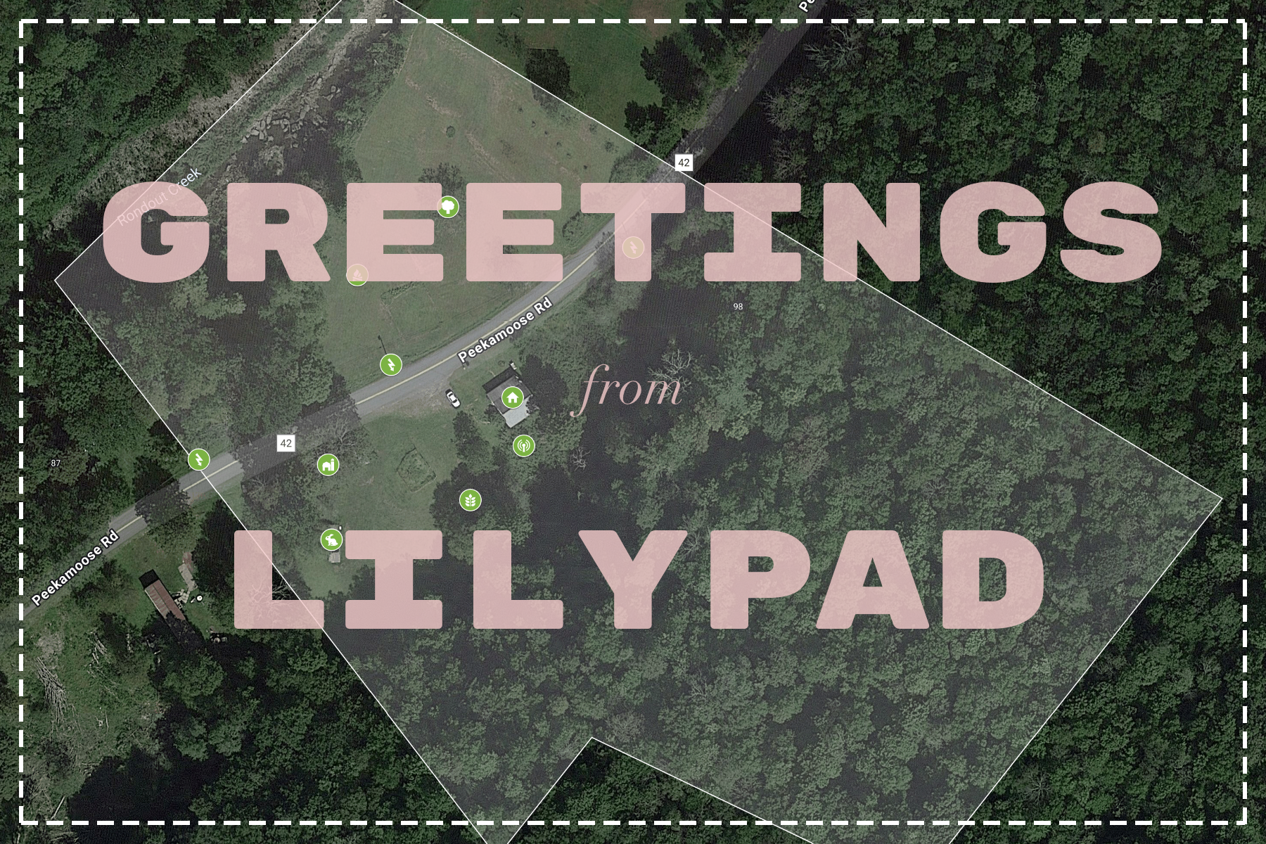
This is the Apple Maps satellite photo of the property, captured just before I took ownership.
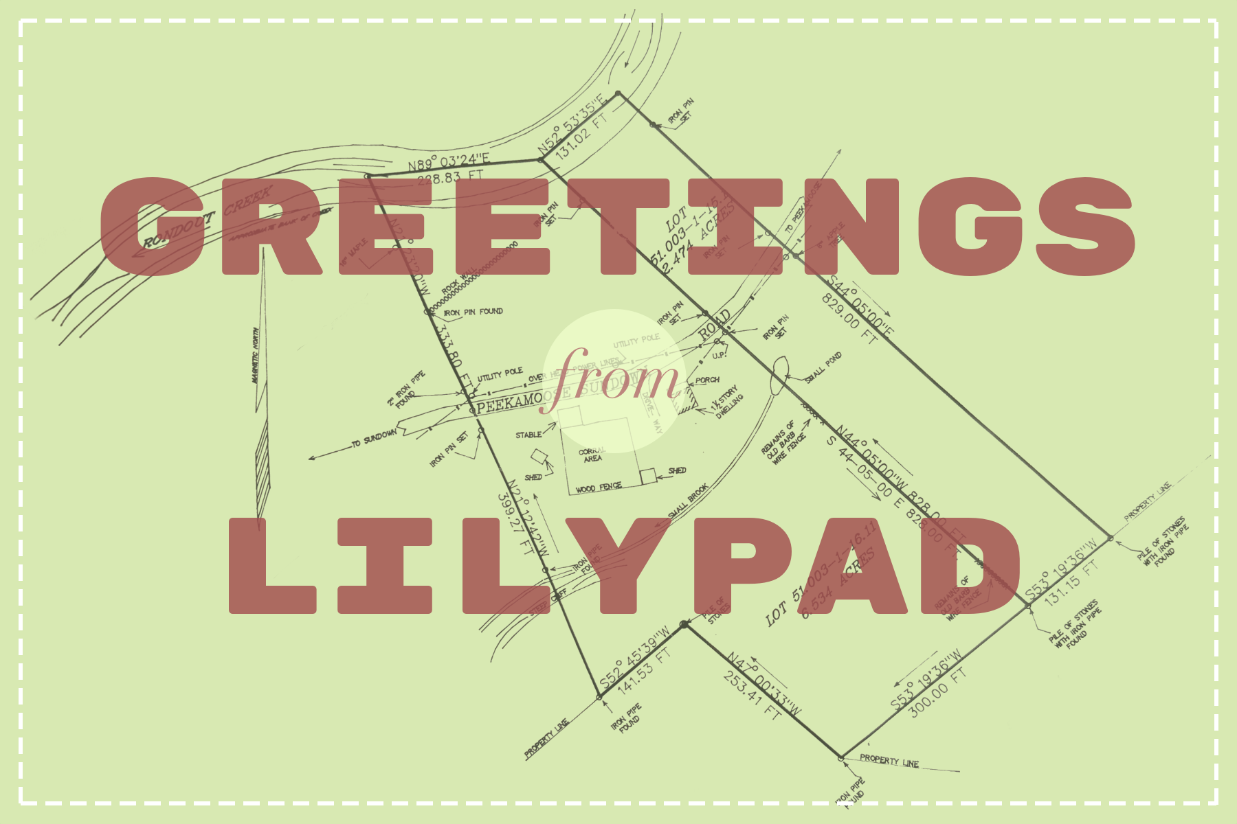
This is the 1997 survey, commissioned by the previous owner.
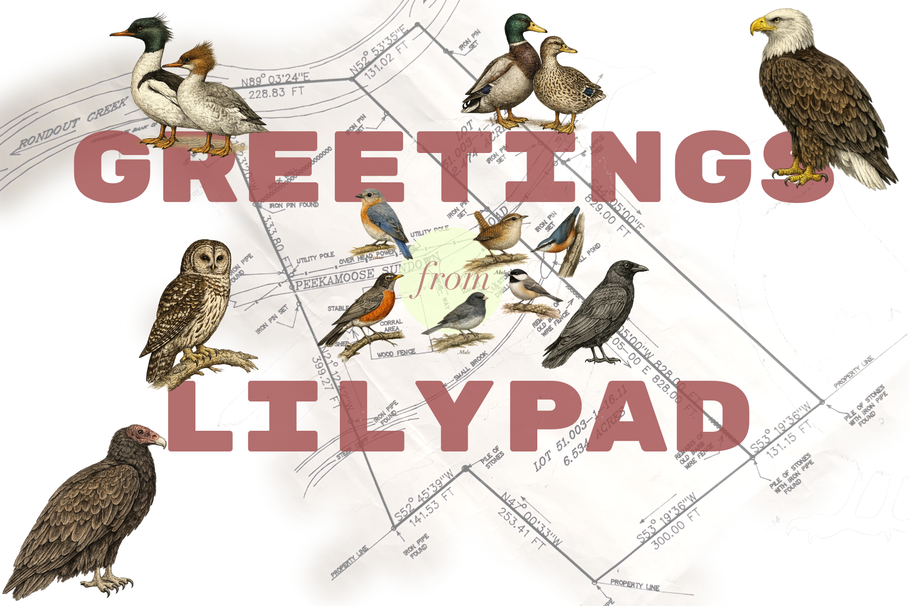
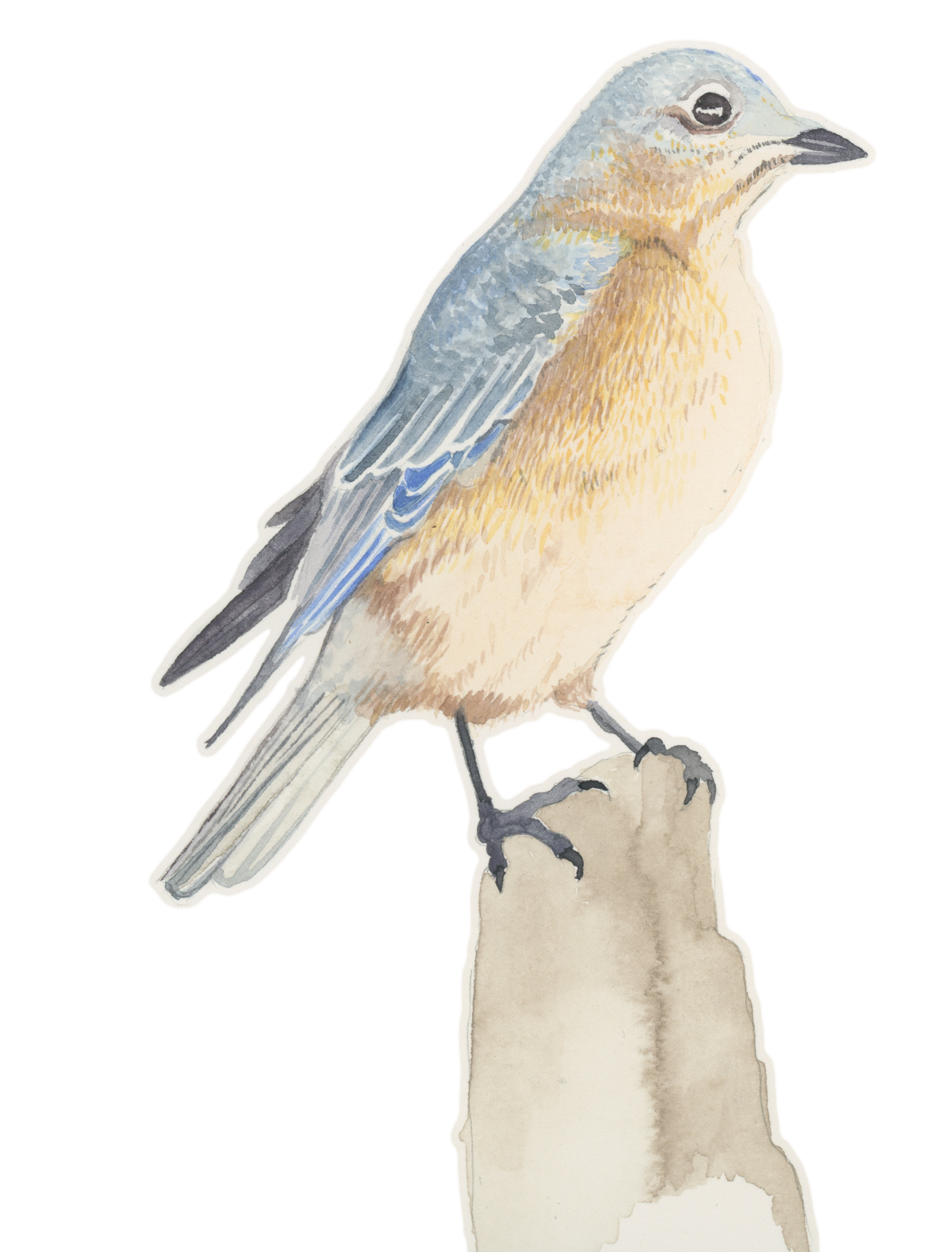
This is the 1997 survey with an overlay of my regular birds.
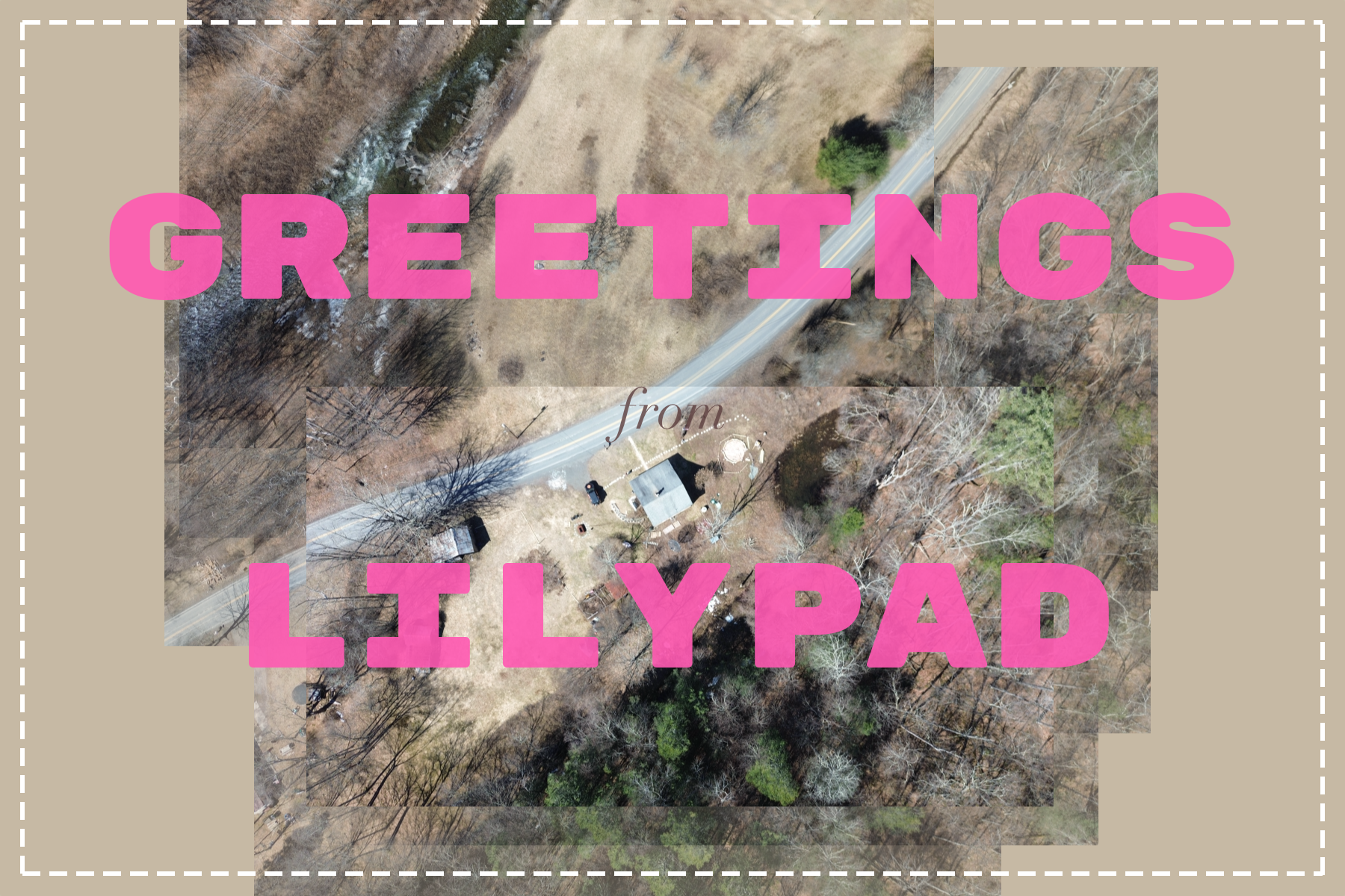
This is a patchwork of birds-eye-view photos taken from a drone pointed north.